
Understanding Time Zones for Geography
Planet Earth is a round sphere, or to be more precise, an "oblate spheroid". It is swollen out at the middle and slightly squashed at the north and south poles due to its rotation.
As the Earth rotates, the sun faces different regions of the planet, creating sunrise and sunset times that vary from east to west. For example, the middle of the day in New York is the middle of the night in Tokyo.
If everyone used the same time, it would lead to confusion in scheduling activities, such as meetings, transportation, and business transactions.
To solve this problem, the world is divided into 24 time zones, each covering about 15° of longitude.
Time zones help ensure that noon occurs when the sun is roughly overhead in each zone. This makes it easier to coordinate activities across regions.

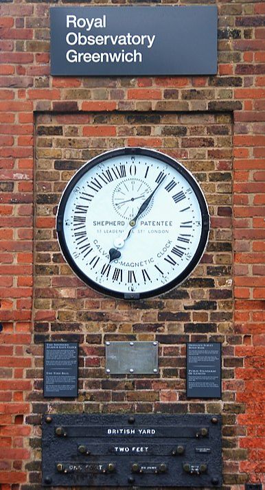
The starting point for time zones is the prime meridian, which runs directly through Greenwich, a town in south-east London, England. That time zone is often called Greenwich Mean Time (GMT).
GMT was first adopted in Great Britain in 1847. Railroad companies began using it soon after to coordinate stops across large areas, which lead to the term "railway time".
The time zones follow Coordinated Universal Time (UTC) and run between -12 to +14 hours of GMT.
For example, New York City is -5 UTC, meaning the zone time in the city is five hours behind UTC.
Therefore, when it is 12pm (or noon) in Greenwich, England, it would be 7am in New York City. Moscow is +3 UTC, meaning when it is 12pm in Greenwich, England, it would be 3pm in Moscow.
Not every country or region follows UTC exactly. India, for example, follows India Standard Time, which is offset by 5 hours and 30 minutes from UTC.
China chose to have one time zone for the entire nation, despite being roughly the same size as the continental United States, which has 4 time zones. This makes the day look very different for people living in western and eastern China.
The time zones of the United States are:
Eastern Standard Time (EST) -5 UTC
This time zone is occupied by the easternmost part of the United States. It covers all or parts of 23 states and nearly half of the country’s population.
Central Standard Time (CST) -6 UTC
This time zone is occupied by the central part of the country just east of EST. It covers all or parts of 20 states and nearly a third of the country’s population.
Mountain Standard Time (MST) -7 UTC
This time zone is directly east of the Pacific Time Zone and contains most of the Rocky Mountains. This is also the least occupied time zone in the United States.
Pacific Standard Time (PST) -8 UTC
This time zone is the westernmost time zone in the continental United States. It covers the entire Pacific Coast of the contiguous United States, including parts or all of five states. This is America's third most populated time zone.
Alaska and Hawaii Standard Time (AKST) -9 UTC
Alaska and most of the Aleutian Islands occupy Alaska Standard Time (AKST) -9 UTC. Hawaii occupies Hawaii Standard Time (HST) -10 UTC.
UTC does not factor in Daylight Saving Time as UTC is a time standard for all time zones. Daylight Saving Time is the practice of setting clocks ahead one hour during warmer months to achieve more daylight hours during normal waking hours.
Daylight Saving Time and the world's time zones help people navigate the world and make global communication and coordination possible.